About Waste Weir at Stryker’s
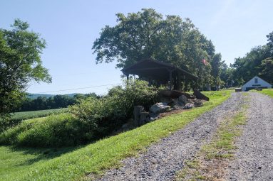
The ruins of a waste weir are located between Stryker’s Road and the bottom of Plane 9 West that helped regulate the level of water in the canal.
See pictures of this Morris Canal site by scrolling through the photo Gallery.
Click left and right on the image to move to the next.
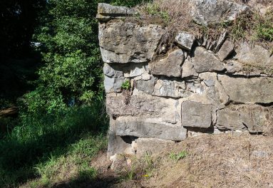
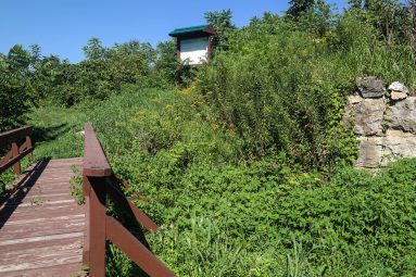
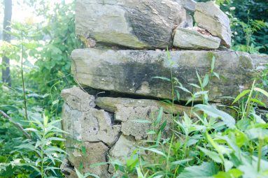
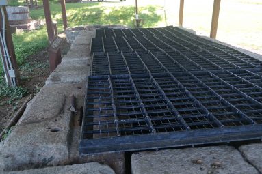
The ruins of a waste weir are situated just off of Stryker’s Road. When the canal was in use this weir held timber gates that helped control the level of water in the canal. Because the waters of Lopatcong Creek were combined with the canal at the bottom of Plane 9 West a weir would have been necessary to provide for a release of water when Lopatcong Creek was high or flooding. A waste gate was located between this weir and the bottom or Plane 9 West but it seems that this small structure was not sufficient to draw water off of the canal. Flooding could erode the banks of the canal and cause breaches. In addition, during winter months when the canal was not in operation sections of the canal would be dewatered and repaired. Channeling the waters of the creek away from the canal prism would have been necessary during these periods. A simple gate that boards could be slid into was present just south of the waste weir across the canal that allowed for the dewatering of this section of the canal without having to water a much larger area. Since this feature is located on the towpath bank of the canal a timber bridge spanned the 76 feet between the two abutments carrying mules and people over the weir. One of the abutments is made of mortared stone, while the other is concrete. The concrete abutment suggests that it was repaired during the early 20th-century. A small shed with a chimney was also located on the towpath just south of this weir, probably to shelter a canal worker stationed here during potential flood events.