FAQ

Frequently Asked Questions

What is a QR Code? What are some recommended QR Code Readers?
How do I scan a QR Code? Where can I find ExploreMorrisCanal QR Codes?
Does it cost anything to participate?


What is a QR Code?

“QR code, or quick response code, is the trademark for a square scannable barcode image that allows smart phone users to link directly to a website.”
-Yourdictionary.com Definition
Click here to learn more about how Explore Morris Canal uses QR Codes to provide information at historic Morris Canal landmarks.


scan qr code on phone

How do I scan a QR Code?

Once you’re at one of our Morris Canal locations, open your phone’s QR Code Reader App. The app will open your camera and show a square frame. Find QR Codes around the site with our logo, and center the QR Code in your phone’s QR Code Reader App. Then, presto! Read and hear professional insight about the Morris Canal site you are viewing.

What are some recommended QR Code Readers?

Apple and Android both have free QR Code readers in their application stores (Apple Store/Google Play Store). Most won’t harm your phone, but here are a few that we trust…

QR Code Reader for Apple Devices:
QR Reader for iPhone
By TapMedia Ltd

QR Code Readers for Android Devices:
QR Code Reader
By Scan.me

QR Code Reader
By TWMobile


Where can I find ExploreMorrisCanal QR Codes?

Currently our QR Codes are posted at the Plane 9 West site in Stewartsville NJ. For the address and more detail about the historical canal turbine located their view the Plane 9 page!

Does it cost anything to participate?

No way! It doesn’t cost a dime. The Morris Canal sites are open during daylight hours at no charge to the public. The recommended QR Code readers don’t cost anything. This is an absolutely free way to learn more about our area. So, what are you waiting for? Explore The Morris Canal!

Back to Top of Page


Explore Historic Morris Canal Sites

About Plane 9

About Plane 9

This site is the former home of the late James S. Lee, Sr. (pictured left), Morris Canal author and historian. Plan 9 West is located on Rt. 519 1/2 mile south of Route 57 intersection east of Phillipsburg. The address for obtaining directions is 477 County Route 519, Stewartsville NJ 08886. Some facts about Plane…

Sycamore Landing

Sycamore Landing

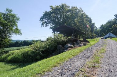
This stretch of the canal left the industrial areas of Phillipsburg behind for the pastoral farm fields of the upper Lopatcong Creek valley.

Lock Plane

Lock Plane

Before planes were powered by a scotch-reaction turbine, a water wheel was used to raise and lower boats.

Plane Tender’s House

Plane Tender’s House

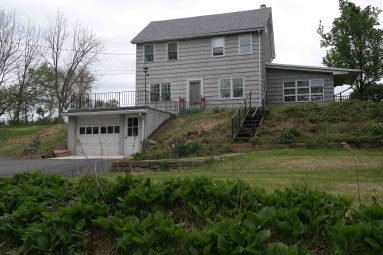
Although greatly modified from its original appearance the plane tender’s house at the top of Plane 10 West still exists today.

About Plane 10

About Plane 10

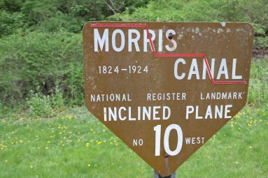
Plane 10 West’s turbine chamber is filled by a natural spring and may contain remains of the original turbine. See pictures of this Morris Canal site by scrolling through the photo Gallery. Click left and right on the image to move to the next. From the Delaware River the Morris Canal climbs uphill, one level…

Bottom of Plane 10

Bottom of Plane 10

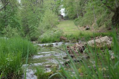
The bottom of Plane 10 West is still visible across Lopatcong Creek from an early stone springhouse.

Lock St. Kiosk

Lock St. Kiosk

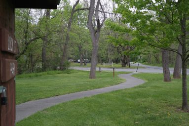
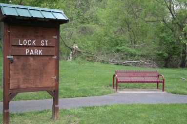
A great variety and number of historic features and sites are located along Lock Street.

Canal Prism (West of Stryker’s Road)

Canal Prism (West of Stryker’s Road)

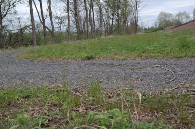
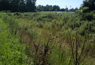
The prism is the watered channel of the canal that carried boats between the canal’s locks and inclined planes.

Bridge abutment

Bridge abutment

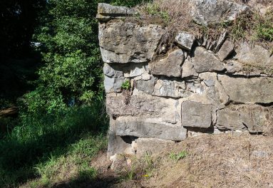
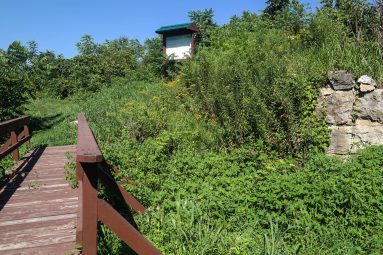
This stone bridge abutment elevated Morris Canal Bridge #6 over the canal so that boats could pass underneath.

Waste Weir at Stryker’s

Waste Weir at Stryker’s

The ruins of a waste weir are located between Stryker’s Road and the bottom of Plane 9 West that helped regulate the level of water in the canal.