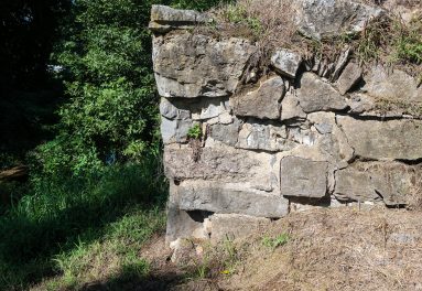

Plane 10 West’s turbine chamber is filled by a natural spring and may contain remains of the original turbine.
Click left and right on the image to move to the next.
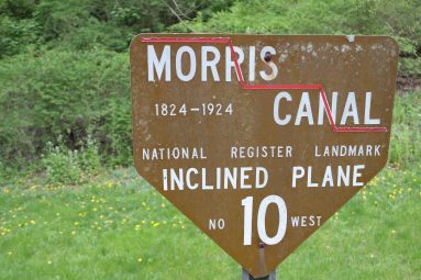
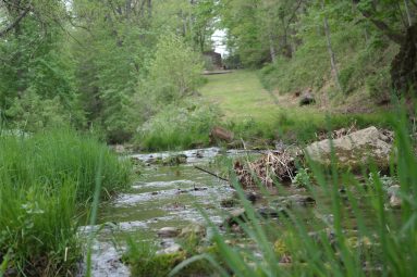
Morris Canal Plane 10 West could raise or lower a fully-loaded canal boat 44 feet in elevation in less than 10 minutes. To provide the power, water was brought to the powerhouse from the upper level of the canal in a timber headrace flume. From the end of the flume the water was dropped down a wood and iron penstock pipe to operate a reaction turbine, housed in a chamber below. The column of water in the penstock, weighing many tons, forced the turbine to turn like a huge lawn sprinkler. A shaft transmitted power from the turbine to gearing that turned the cable drum in the powerhouse above. The used water flowed out of the tailrace tunnel and into Lopatcong Creek to be used again at the next lock.
It took two men to operate the plane. The plane tender manned the controls and operated the machinery at the powerhouse. The brakeman rode the cradle car, organized the loading and unloading of the boats, and operated a brake on the car when needed.
From his perch in the cupola on top of the powerhouse, the plane tender could see the brakeman’s signals from either the top or bottom of the plane. When a boat was secured in one of the cradle cars, the plane tender raised the tub valve at the end of the headrace flume, dropping tons of water to turn the turbine below. A simple clutch engaged the cable drum in the appropriate direction to move a canal boat up or down the plane.