Frequently Asked Questions
| What is a QR Code? | What are some recommended QR Code Readers? |
| How do I scan a QR Code? | Where can I find ExploreMorrisCanal QR Codes? |
| Does it cost anything to participate? |
What is a QR Code?
“QR code, or quick response code, is the trademark for a square scannable barcode image that allows smart phone users to link directly to a website.”
-Yourdictionary.com DefinitionClick here to learn more about how Explore Morris Canal uses QR Codes to provide information at historic Morris Canal landmarks.
-Yourdictionary.com Definition

How do I scan a QR Code?
Once you’re at one of our Morris Canal locations, open your phone’s QR Code Reader App. The app will open your camera and show a square frame. Find QR Codes around the site with our logo, and center the QR Code in your phone’s QR Code Reader App. Then, presto! Read and hear professional insight about the Morris Canal site you are viewing.
What are some recommended QR Code Readers?
Apple and Android both have free QR Code readers in their application stores (Apple Store/Google Play Store). Most won’t harm your phone, but here are a few that we trust…
QR Code Reader for Apple Devices:
QR Reader for iPhone
By TapMedia Ltd
QR Code Reader for Apple Devices:
QR Reader for iPhone
By TapMedia Ltd
QR Code Readers for Android Devices:
QR Code Reader
By Scan.me
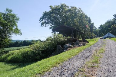
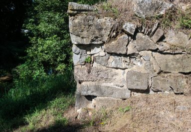
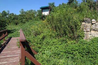
Where can I find ExploreMorrisCanal QR Codes?
Currently our QR Codes are posted at the Plane 9 West site in Stewartsville NJ. For the address and more detail about the historical canal turbine located their view the Plane 9 page!
Does it cost anything to participate?
No way! It doesn’t cost a dime. The Morris Canal sites are open during daylight hours at no charge to the public. The recommended QR Code readers don’t cost anything. This is an absolutely free way to learn more about our area. So, what are you waiting for? Explore The Morris Canal!