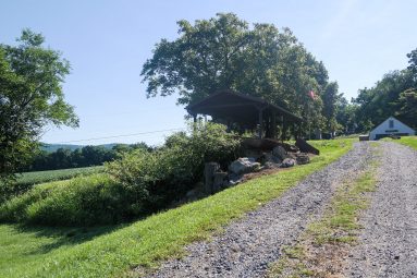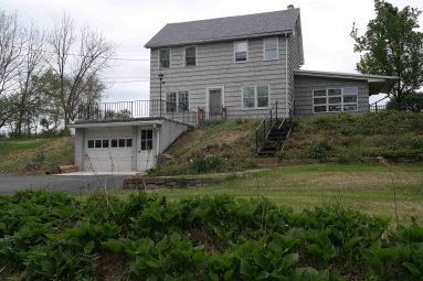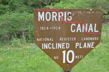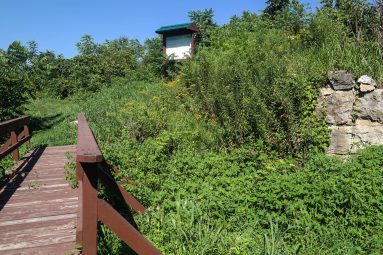
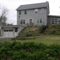
Although greatly modified from its original appearance the plane tender’s house at the top of Plane 10 West still exists today.
Click left and right on the image to move to the next.
The original plane tender’s house was located east of the current house at what would have been the summit of the original inclined plane. The plane tender’s house currently at the summit of the plane was probably built circa 1850 during the enlargement and reconstruction of the canal. This can be deduced from the provision of chimneys for stoves instead of fireplaces. Built as a two-family home it would have housed the plane tender and another canal employee along with their families. In the waning years of the Morris Canal this house was occupied by Peter and Belle Lenstrohm and their family. Descendents of this canal family still live on Plane 10 West at this time.