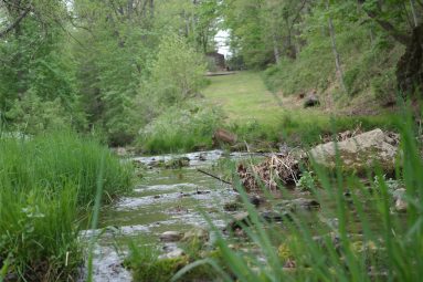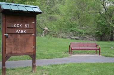
A great variety and number of historic features and sites are located along Lock Street.
See pictures of this Morris Canal site by scrolling through the photo Gallery.
Click left and right on the image to move to the next.
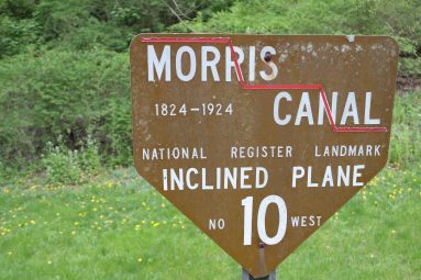
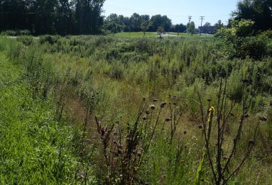
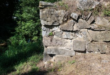
This area of the Morris Canal had many historic features in its short distance. Three locks, an inclined plane, four canal bridges, two overflows, a canal store, farm sites, a school, spring houses, a lime kiln, 18th- and 19th-century houses, a grist mill, a distillery and bottle works were all here. The canal traveled up the Lopatcong Valley with the town of Phillipsburg on its north side and then Pohatcong and Lopatcong Townships on its south side. In this stretch of canal, lift Locks 8, 9 and 10 West, and Plane 10 West raised boats 71 feet in elevation from the Delaware River to the plateau of farmland to the east.