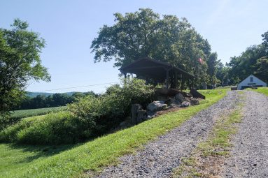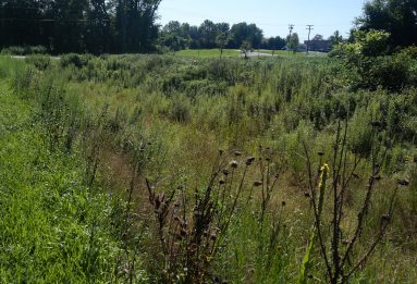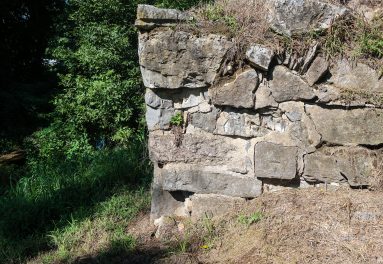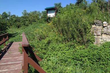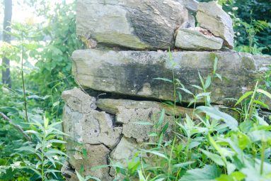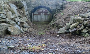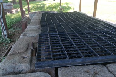
Canal Prism (West of Stryker’s Road)
The prism is the watered channel of the canal that carried boats between the canal’s locks and inclined planes.
See pictures of this Morris Canal site by scrolling through the photo Gallery.
Click left and right on the image to move to the next.
The prism of the Morris Canal is the watered channel between the towpath (where the mules walked as they towed the boats) and the berm (or opposite bank). It’s called the prism because in profile its sloping sides, flat bottom, and surface resemble a quadrilateral. When the canal was built the prism was puddled with clay to prevent water from seeping out of it. It was originally built 20 feet wide at its base and 32 feet wide at the elevation of the towpath, with approximately 4 feet of water. In the 1840s, in an effort to compete with the newly emerging railroads, the canal prism was widened. It’s new dimensions were 25 feet across at the bottom and 40 feet wide at the top and the depth was increased to five feet. This left plenty of room for the 10.5-foot-wide canal company boats to pass one another. The towpath edge of the prism was regular and kept free of trees, shrubs and any other obstructions that would entangle the towline from the mule team. The berm side of the canal could be less regular and often followed the contours of the landscape.