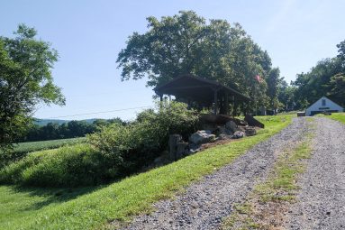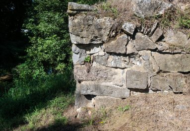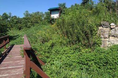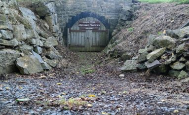
This stone bridge abutment elevated Morris Canal Bridge #6 over the canal so that boats could pass underneath.
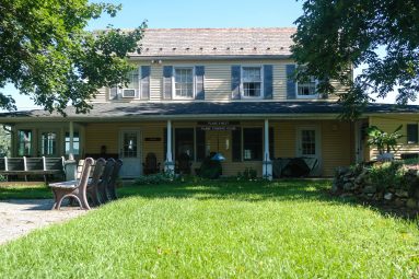
See pictures of this Morris Canal site by scrolling through the photo Gallery.
Click left and right on the image to move to the next.
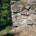
The mortared northern stone bridge abutment at the base of Plane 9 West supported Morris Canal Bridge #6 which carried road traffic across the combined waters of Lopatcong Creek and the Morris Canal. The bridge’s elevated camelback design was necessary to provide enough clearance for empty boats to pass beneath. The original path of what is now County Route 519 once traveled this bridge and through the small cluster of buildings known as Port Warren. A blacksmith’s shop was situated just north of the abutment and a mule shed once stood in what is now County Route 519. The southern abutment, which survives as only a ruin, was situated next to Kline’s store, a three-story stone building with a gable end third story door and winch to facilitate the loading and unloading of boats. The Morris Canal’s bridges, which turned as sharp angle to cross the canal, were notoriously dangerous for automobile drivers.