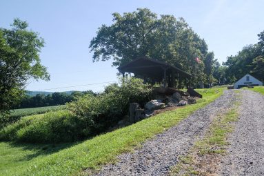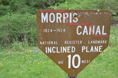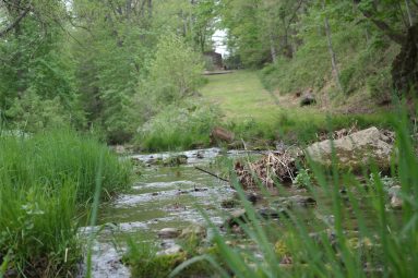
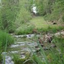
The bottom of Plane 10 West is still visible across Lopatcong Creek from an early stone springhouse.
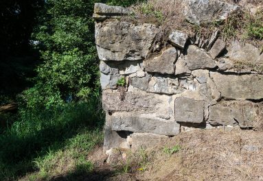
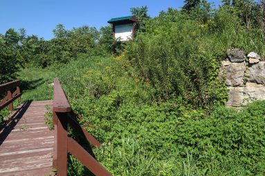
At this location Lopatcong Creek and the Morris Canal shared the same channel. Boats traveling east on the canal were guided into a cradle car at the foot of the plane by timber fenders. Remnants of these timbers are still visible in the creek at this location. Some were part of the cribbing and others carried the rails of the plane. It is evident that the natural, rocky hillside has been quarried away to make room for the incline plane. A substantial stone retaining was also built along the Lopatcong Creek to support the plane and protect it from erosion by the stream. A footbridge was located in this area to carry people and draft animals over the creek from Lock Street to the incline plane.